|
Continuing History of the Dead Sea:
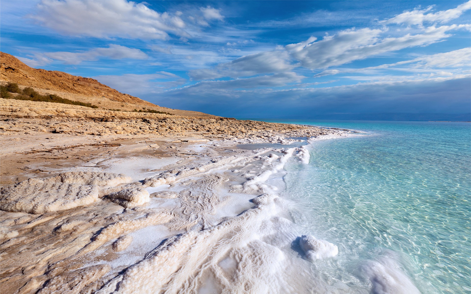
The Dead Sea has attracted visitors from around the Mediterranean basin for thousands of years. It was one of the world's first health resorts (for Herod the Great), and it has been the supplier of a wide variety of products, from asphalt for Egyptian mummification to potash for fertilisers. People also use the salt and the minerals from the Dead Sea to create cosmetics and herbal sachets.
The Dead Seawater has a density of 1.24 kg/litre, which makes swimming similar to floating.
The Dead Sea is receding at an alarming rate. Multiple canals and pipelines were proposed to reduce its recession, which had begun causing many problems. The Red Sea–Dead Sea Water Conveyance project, carried out by Jordan, will provide water to neighbouring countries, while the brine will be carried to the Dead Sea to help stabilise its levels. The first phase of the project is scheduled to begin in 2018 and be completed in 2021.
The Dead Sea is an endorheic lake located in the Jordan Rift Valley, a geographic feature formed by the Dead Sea Transform (DST). This left lateral-moving transform fault lies along the tectonic plate boundary between the African Plate and the Arabian Plate. It runs between the East Anatolian Fault zone in Turkey and the northern end of the Red Sea Rift offshore of the southern tip of Sinai. It is here that the Upper Jordan River/Sea of Galilee/Lower Jordan River water system comes to an end.
The Jordan River is the only major water source flowing into the Dead Sea, although there are small perennial springs under and around the Dead Sea, forming pools and quicksand pits along the edges. There are no outlet streams.
The Mujib River, biblical Arnon, is one the larger water sources of the Dead Sea other than the Jordan. The Wadi Mujib valley, 420 m below the sea level in the southern of Jordan valley, is a biosphere reserve, with an area of 212 km2 (82 sq mi). Other more substantial sources are Wadi Darajeh (Arabic)/Nahal Dragot (Hebrew), and Nahal Arugot. Wadi Hasa (biblical Zered) is another wadi flowing into the Dead Sea.
Rainfall is scarcely 100 mm (4 in) per year in the northern part of the Dead Sea and barely 50 mm (2 in) in the southern part. The Dead Sea zone's aridity is due to the rainshadow effect of the Judaean Mountains. The highlands east of the Dead Sea receive more rainfall than the Dead Sea itself.
To the west of the Dead Sea, the Judaean mountains rise less steeply and are much lower than the mountains to the east. Along the southwestern side of the lake is a 210 m (700 ft) tall halite formation called "Mount Sodom".
|
|
|
Return to the
 Home Page Home Page
|
|
